|
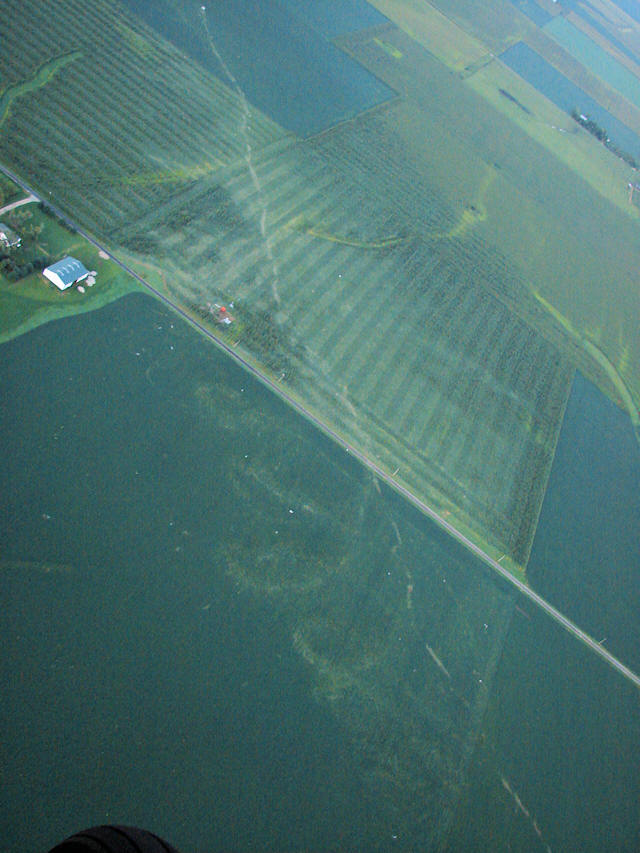
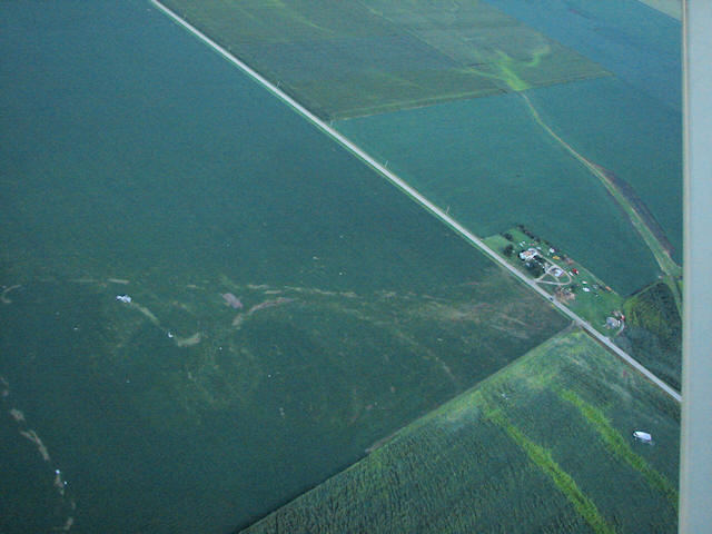
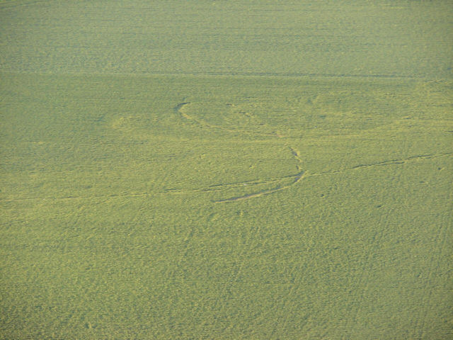
Notice the thin white ribbon from the bottom
to top of the picture. It is where a piece of heavy debris was
dragged along and etched the land. Also notice the loopy swirls to
the left of the ribbon line. Sometimes the loops were even in size
and in a line. Other times it was like they did a little jiggy
dance. The entire 22-mile path from Williamsville to Beason has
swirls of flattened crops, and the fields are littered with debris.
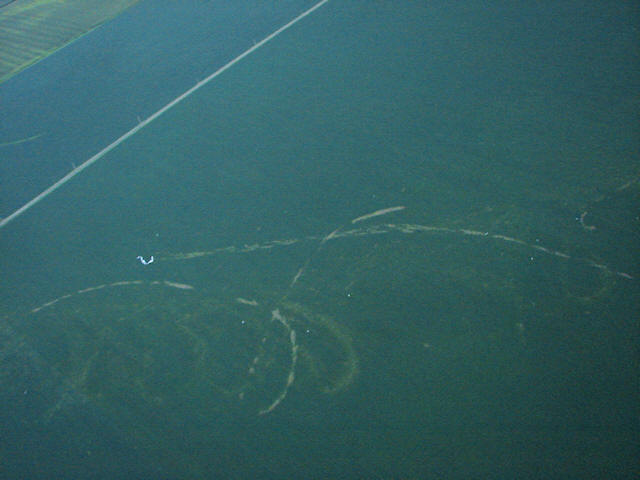
Left, lower: Swirl marks are engraved at a 45-degree angle across
the upper
portion of the dark bean field |