|
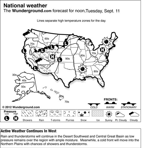
 In the Southwest, energy from an area of low pressure in southern California and northwestern Mexico, combined with ample monsoon moisture already in place in the Southwest, will kick up areas of light to moderate showers, periods of locally heavy rain, and afternoon and evening thunderstorm activity from southeastern California through the Southwest. Considerable rainfall in these areas
is expected to raise flood and flash flood concerns through the day. This activity will spread across the
central Great Basin later in the afternoon and evening. In the Southwest, energy from an area of low pressure in southern California and northwestern Mexico, combined with ample monsoon moisture already in place in the Southwest, will kick up areas of light to moderate showers, periods of locally heavy rain, and afternoon and evening thunderstorm activity from southeastern California through the Southwest. Considerable rainfall in these areas
is expected to raise flood and flash flood concerns through the day. This activity will spread across the
central Great Basin later in the afternoon and evening.
Meanwhile, to the north, a cold front will meander eastward through the northern Intermountain West and the
northern Rockies. A drier air mass with relative humidity levels below 20 percent behind this front, coupled with increased westerly-southwesterly wind of 20 to 25 mph and higher gusts, and warm to hot daytime highs, will enhance fire weather conditions from central and southern Idaho northeastward into northwestern North Dakota.
Meanwhile, in the Plains, critical fire weather conditions are also anticipated from the
central Plains northeastward into the upper Mississippi Valley. Generally southwesterly winds of 20 to 25 mph combined with daytime highs in the mid-80s to 90s and dry conditions will translate into critical fire weather conditions from western Kansas northeastward into southwestern Minnesota.
Finally, in the East, a cold front extending across the Florida Peninsula will become nearly stationary as it becomes situated across the central Peninsula on Monday. Moisture pooling along this frontal boundary will stir up another round of scattered showers and thunderstorms in the central and southern peninsula during the day.
Temperatures in the Lower 48 states Sunday ranged from a morning low of 26 degrees at West Yellowstone, Mont., to a high of 99 degrees at Daggett-Barstow, Calif.
|