|
[June 30, 2021]
 Send a link to a friend
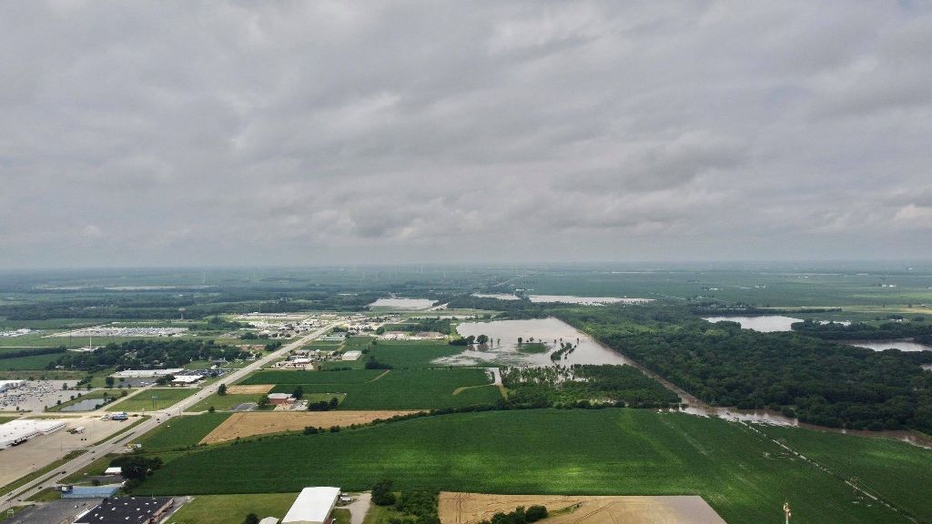
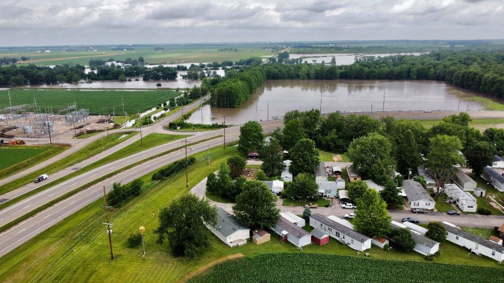
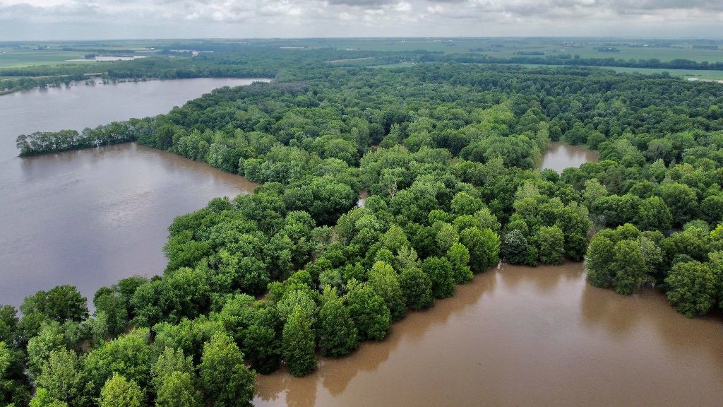
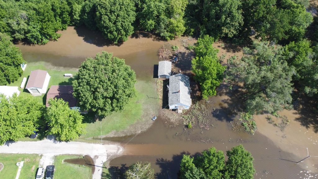
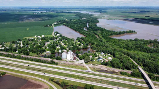
On Sunday, Adam Charron set his drone aloft over areas of Lincoln to
show flooding that was taking place along Kickapoo Creek and other
waterways. Charron took shots around the edges of Lincoln, looking
northward on Route 121 toward Hartsburg, westward on Route 10 toward
New Holland and southward on Lincoln Parkway past the fairground.
The shots clearly show that water was an issue in many parts of the
community.
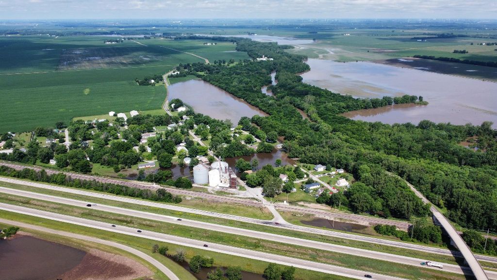
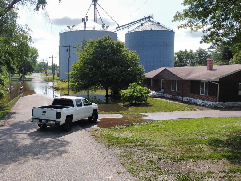
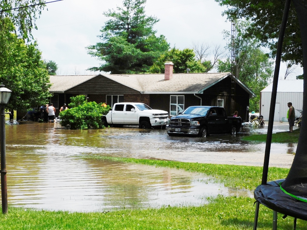
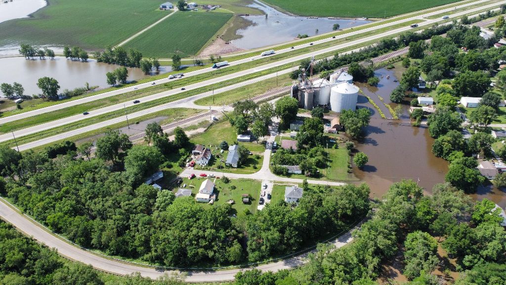
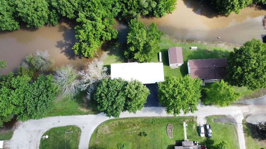
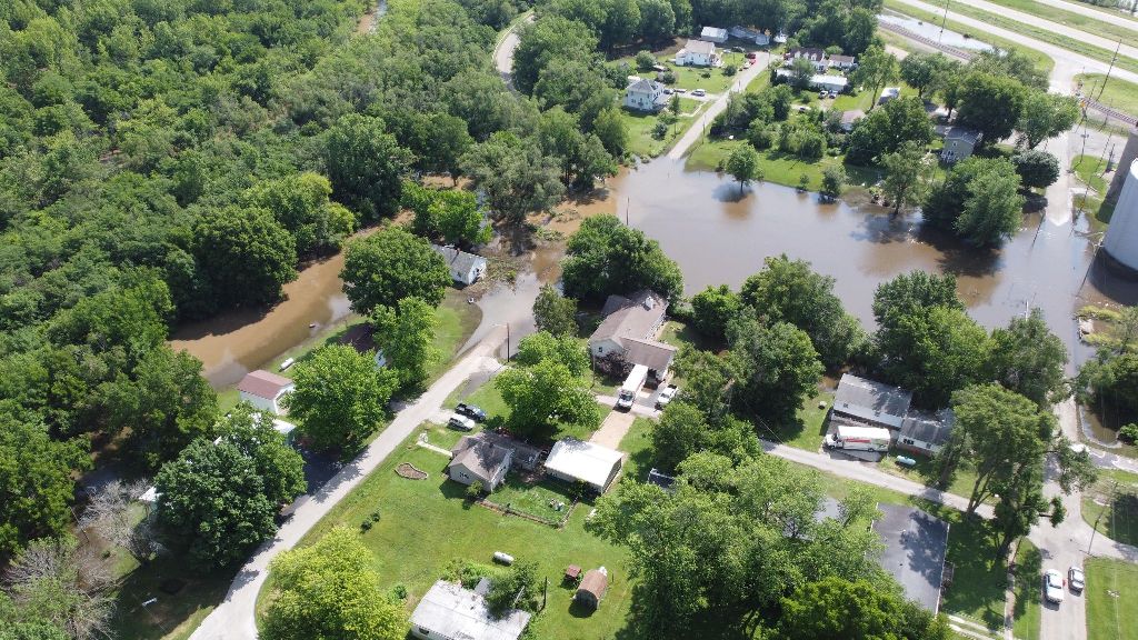
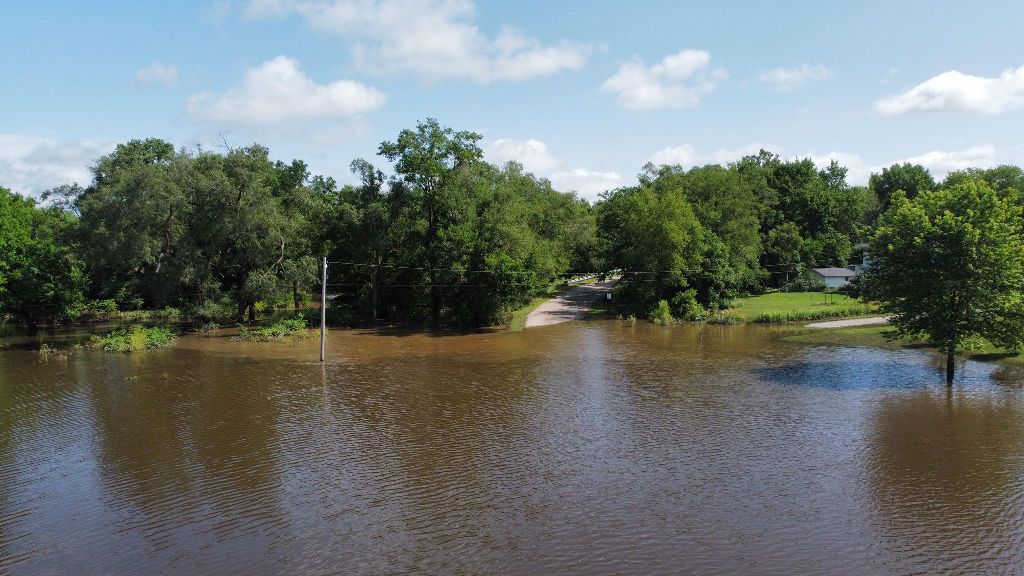
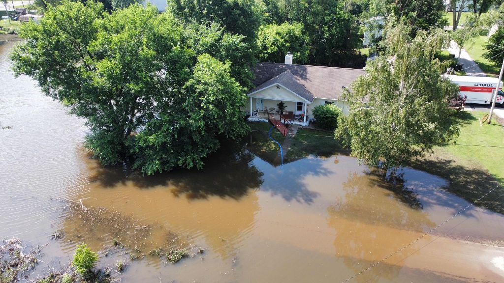
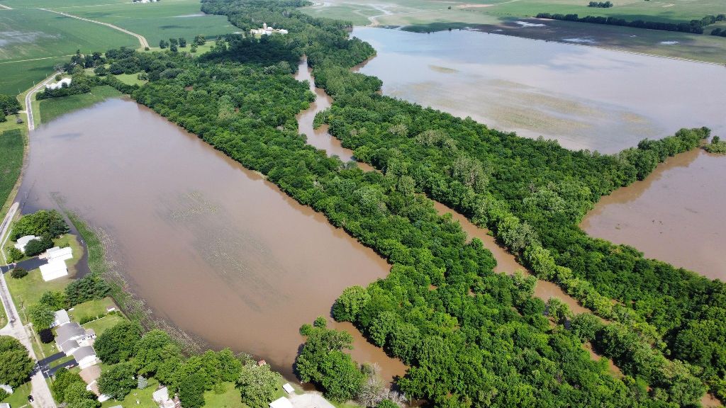
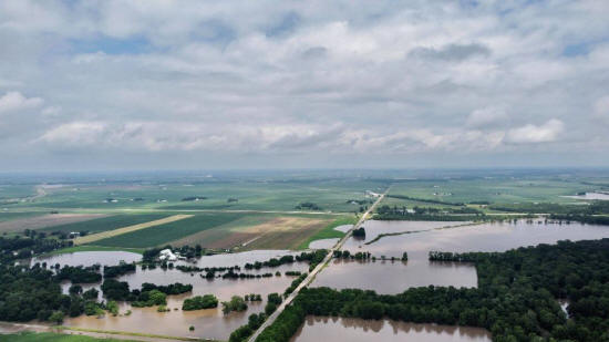
On Monday, Charron went to Lawndale to take aerial shots of the
flooding that is troubling the residents of that town. While there
was still a lot of water in places it would not normally be seen, it
was also noted that the levels had dropped somewhat since the day
prior when sandbagging efforts were underway.
One dramatic
difference can be noted comparing the picture on the left from Adam
to the shot on the right taken Sunday.
Pictures by Adam Charron |