|
A
pictorial survey of flooding still surrounding Lincoln at 4:30 p.m.
on Friday, June 6, 2008. Views were taken traveling clockwise around
the area, beginning on Lincoln’s southwest side.
pictures by Jan Youngquist. Special thanks to pilot Curtis Fox! |
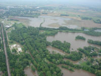
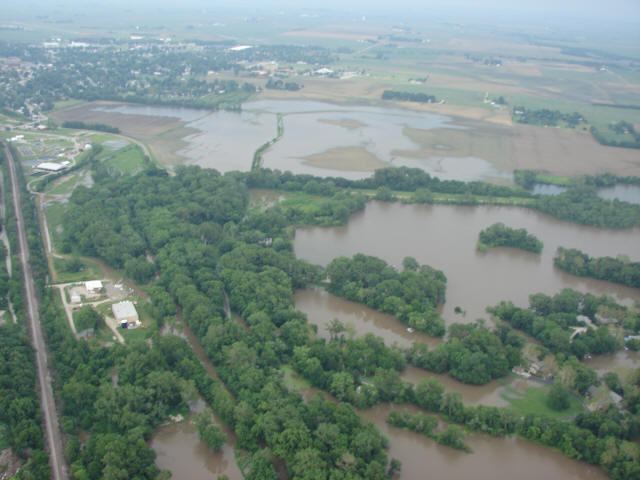
View from southwest side of Lincoln; looking east/northeast; at the
top is the south end of Lincoln; IC Railroad runs along left side
with wastewater treatment plant at the top end; Lincoln Lakes and
homes surrounded by floodwaters are at the bottom right. |

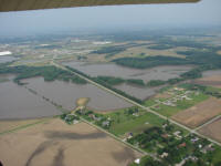
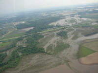
Looking southwest from Lincoln’s southwest side; Sysco is bottom
left; I-55 heads left toward Springfield; broad view of Salt (left)
and Kickapoo (upper right) Creek flood waters. |
 |
|
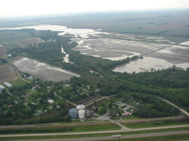
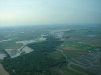
Looking from the west side of Lincoln toward the east; Route 10
intersects I-55; Lincoln’s west side business district is beyond
I-55 intersection; Kickapoo Creek flooding in the foreground. |
From the north side of Lincoln
looking southwest; Lincoln is in the upper left corner; the small,
bright white triangle in upper left is part of Eaton Corp.; I-55
crosses in foreground; north bound old Route 121 borders the upper
right, Kickapoo Creek slowly shrinking back. |
 |
|
To the north of Lincoln submerged fields slowly emerge. Kickapoo and
Sugar Creeks closed roads. |

To the northeast of Lincoln; Lawndale has surfaced. View is to the
NW; I-55 in the foreground. |

|
|
|

Back to top |
News |
Sports | Business |
Rural Review |
Teaching & Learning
|
Home and Family |
Tourism
| Obituaries
Community |
Perspectives
|
Law & Courts |
Leisure Time
|
Spiritual Life |
Health & Fitness |
Teen Scene
Calendar
|
Letters to the Editor
|