Palestinian app helps drivers avoid Israeli checkpoint
bottlenecks
 Send a link to a friend
 [August 05, 2019] By
Rami Ayyub [August 05, 2019] By
Rami Ayyub
RAMALLAH, West Bank (Reuters) - A new
locally-developed app helps Palestinian drivers in the occupied West
Bank negotiate traffic at Israeli military checkpoints and uncover
routes to towns mainstream providers often miss.
Launched in June and designed by Palestinians, Doroob Navigator
crowd-sources road closures and traffic data from users. It aims to
supplant apps like Google Maps and Waze, which rarely account for
Israeli restrictions and struggle to navigate between Palestinian
cities.
Israel captured the West Bank in the 1967 Middle East war and cites
security concerns in maintaining checkpoints. But the roadblocks limit
Palestinian mobility and damage their economy, according to the World
Bank.
Some checkpoints are long-established at the entrances to villages and
cities, but others pop up when tensions rise.
Mohammad Abdel Haleem, CEO of Doroob Technologies, said he knew
Palestinians needed a new way to get around after a drive with Google
Maps between the West Bank cities of Bethlehem and Ramallah left him
lost in a remote valley.

"We had to design our maps completely from scratch. The wall,
checkpoints, settlements ... existing mapping software could never
account for the complexity here," Abdel Haleem, 39, said before using
the app to drive through a checkpoint separating Ramallah from Beit El,
a nearby Israeli settlement.
The app, which has garnered 22,000 users in two months, is funded by
Ideal, a Ramallah-based transportation and automation software company
also led by Abdel Haleem. He says he hopes to monetize the app in the
future in part via a delivery feature.
"OTHER APPS DO NOT UNDERSTAND"
The West Bank is scattered with Israeli settlements and military bases,
and an Israeli barrier snakes through the territory. Israel says the
obstacle prevents Palestinian attacks, but Palestinians call it a land
grab.
[to top of second column] |

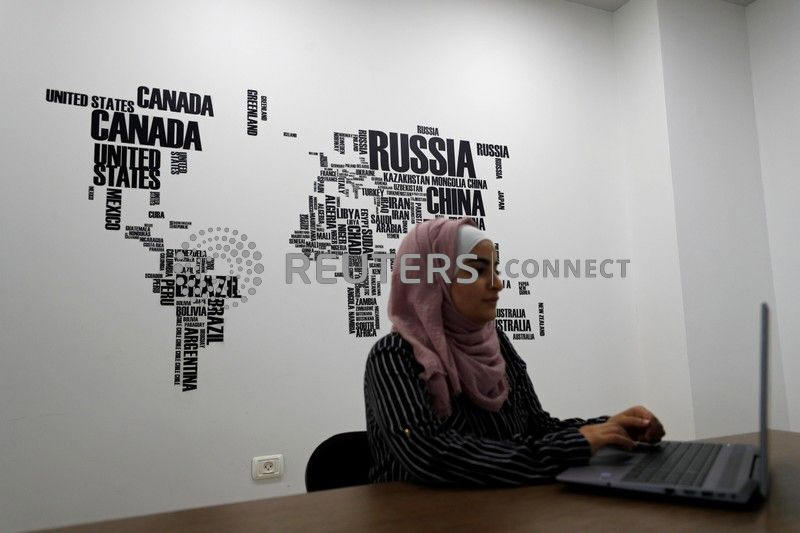
Palestinian engineer Sojoud Jebreel, 21, works at Doroob
Technologies office in Ramallah, in the Israeli-occupied West Bank
July 31, 2019. REUTERS/Mohamad Torokman

Around 3 million Palestinians live in the territory along with some 450,000
settlers, who can generally drive in the area without major restriction using
so-called "bypass roads" built to avoid Palestinian towns.
Doroob Navigator's algorithm combines reports from users with manual inputs by
engineering staff to help drivers avoid crippling checkpoint traffic and
circumvent settlements, which most Palestinian vehicles cannot enter.
"Other apps might say the only way to drive between certain Palestinian cities
is to cut through a settlement," Abdel Haleem said. "We're trying to change
that."
The app is also available in the Palestinian coastal enclave of Gaza, though
most active users are in the West Bank, Abdeel Haleem says.
Palestinians in the past have relied on Facebook groups and word-of-mouth to
anticipate West Bank traffic and closures. Waze is popular with Israelis, but
many Palestinians say it directs them to routes they are restricted from
driving.
"We need applications like this that help us move within Palestine," said
Nicolas Harami, 31, who uses the app while driving from his home in East
Jerusalem to Ramallah and other West Bank cities.
"Other applications do not understand our situation."
(Additional reporting by Lara Afghani in Ramallah; Editing by Andrew Cawthorne)
[© 2019 Thomson Reuters. All rights
reserved.] Copyright 2019 Reuters. All rights reserved. This material may not be published,
broadcast, rewritten or redistributed.
Thompson Reuters is solely responsible for this content.
 |