|
The
U.S. has already dispatched more than 600 firefighters to Canada
to help battle the flames. President Joe Biden, who has linked
wildfires to climate change, said U.S. officials were monitoring
air quality and aviation delays.
"Starting today, DOD personnel will analyze and share real time
data derived from U.S. satellites and sensors and convey it via
a cooperative agreement between the U.S. National Interagency
Fire Center and the Canadian Interagency Forest Fire Centre,"
U.S. National Security Council spokesperson Adam Hodge said in a
statement.
He said the Biden Administration was also deploying additional
U.S. Department of the Interior (DOI), USDA Forest Service (USFS),
and state wildland firefighting personnel and equipment to
Canada.
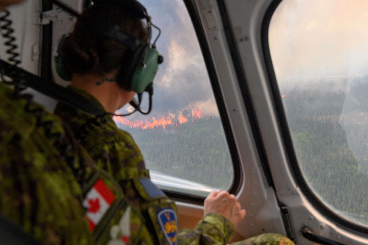
Canada is suffering through its most destructive start to
wildfire season, with about 4.8 million hectares (48,000 square
kilometers) already burned, an area larger than the Netherlands.
(Reporting by Dan Whitcomb; Editing by Stephen Coates)
[© 2023 Thomson Reuters. All rights
reserved.] Copyright 2022 Reuters. All rights reserved. This material may not be published,
broadcast, rewritten or redistributed.
Thompson Reuters is solely responsible for this content.

|
|