|
“Heavy showers and thunderstorms continue to race across
Louisiana and the Gulf waters at this time, with SETX in the
clear for the rest of tonight. Please stay safe all,” the
weather service’s office in Lake Charles, Louisiana, posted on
the social platform X shortly after 11 p.m. Thursday.
The weather service issued a tornado warning late that afternoon
for parts of Texas northeast of Houston, meaning weather radar
indicated there was a tornado in the area. There were no
immediate reports of damage.
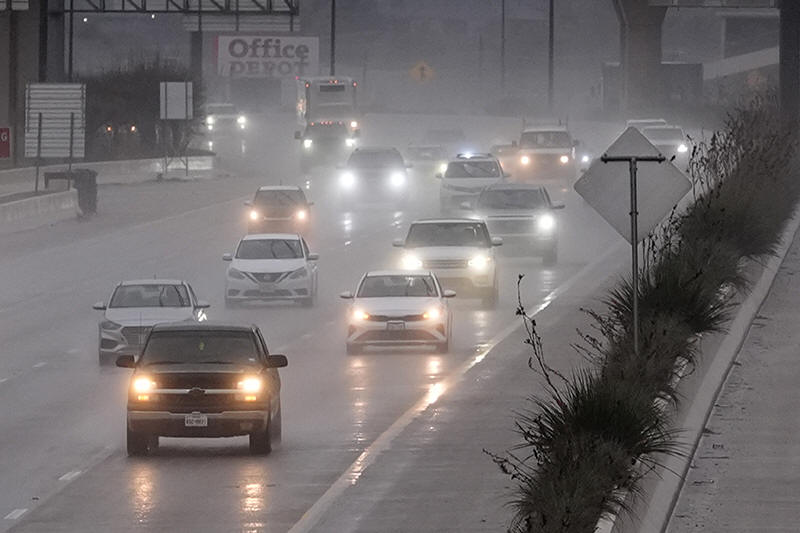
After a line of thunderstorms started moving across parts of
Texas, more than 100 flights were delayed and dozens more
canceled at Dallas Fort Worth International Airport. Delays and
thunderstorm-related cancellations also were reported at Dallas’
Love Field and George Bush Intercontinental Airport in Houston,
according to FlightAware, an aviation company that tracks
flights across the world.
Texas Gov. Greg Abbott activated state emergency response
resources because of the increased severe weather threat.
“As Texans and out-of-state visitors begin traveling after the
Christmas holiday, it’s crucial that everyone regularly monitor
road conditions, make an emergency plan and heed the guidance of
state and local officials,” Abbott said in a statement.
The greatest weather risk was forecast for a stretch of Texas
east of Dallas, between Houston and portions of southern
Arkansas and western and northern Louisiana, said Brian Hurley,
a meteorologist with the National Weather Service's Weather
Prediction Center.
“There does look like the possibility of one or a few tornadoes
with this risk, but the main risk will be with high winds and
hail,” Hurley said, adding that he expected wind gusts generally
between 60 and 80 mph (96 to 128 kph), and hail 1 inch (2.5
centimeters) in diameter or greater.
The storms were likely to push into southern Arkansas and
western and northern Louisiana after nightfall, posing a
potentially dangerous situation for holiday travelers, Hurley
said.
“People can't see a whole lot and may not be as weather aware,”
he said.
All contents © copyright 2024 Associated Press. All rights
reserved |
|