Get ready for an even bigger chill. Siberian air to make Trump
swearing-in coldest in 40 years
 Send a link to a friend
 [January 17, 2025]
By SETH BORENSTEIN [January 17, 2025]
By SETH BORENSTEIN
NEW ORLEANS (AP) — The vast majority of Americans are about to get an
extended taste of frigid Siberian weather. Another polar vortex
disruption will stretch Arctic air across the top of the globe and make
Donald Trump's second inauguration the coldest in 40 years,
meteorologists said.
After starting in the Rockies Thursday night, the cold will blast
eastward and as far south as the upper Florida peninsula over several
days. Up to 280 million Americans will have a day or two where it’s
colder than Anchorage, Alaska, said private meteorologist Ryan Maue.
“This would be one of the coldest outbreaks certainly of the past 10
years, 15 years,” said winter weather expert Judah Cohen of Atmospheric
Environmental Research. “It’s pulling air out of Siberia. And, you know,
that’s consistent with these stretches because when the polar vortex
stretches, the flow starts in Siberia and ends in the United States.”
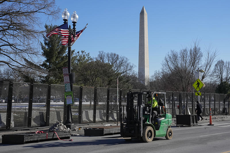
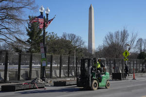
It will arrive in Washington well before Trump's inauguration Monday
outside the U.S. Capitol. The National Weather Service is predicting the
temperature to be around 22 degrees (minus-6 Celsius) at noon during the
swearing-in, the coldest since Ronald Reagan's second inauguration saw
temperatures plunge to 7 degrees (minus-14 Celsius). Barack Obama 2009
swearing-in was 28 degrees (minus-2 Celsius).
But that's not all because the wind is forecast to be 30 to 35 mph (48
to 56 kph).

“The wind chills would be in the single digits for sure,” the NWS'
Weather Prediction Center meteorologist Zack Taylor said. “That’s going
to be cold, blustery, basically right up the National Mall. And it can
get pretty breezy on the mall there with the west-northwest wind right
in the face.”
Washington could see single digits later and on Wednesday morning might
get near zero, Maue said. There could be a record low broken in
Baltimore, Taylor said. He said most of the records that will be broken
in this cold outbreak are not likely to be overnight lows, but still
chilly daytime highs.
About 80 million people are likely to have subzero temperatures at some
point, Maue said.
"The coldest will be Tuesday morning for the Lower 48 overall," Maue
said. The average low that morning for the entire Lower 48 will be
around 7 degrees (minus-14 degrees Celsius), he said.
Maue said a stretch from Chicago to Indianapolis to Columbus, Ohio, to
Pittsburgh will get the most brutal cold compared to their normal
temperatures.
“That’s like a corridor of extreme cold, calm winds at night over snow
cover. Temperatures could really drop like a rock there,” Maue said.
[to top of second column]
|
Workers install security fencing around the Ellipse near the White
House ahead of the upcoming inauguration of President-elect Donald
Trump in Washington, Jan. 14, 2025. (AP Photo/Jon Elswick, File)

Freezes could go as far as the Gulf Coast and northern Florida,
meteorologists said.
Earlier this month, long-range forecasts hinted at worst-in-30-years
type of cold for the year's first week, but those predictions eased
as the cold outbreak got closer. It was cold, but not near record
levels. This time, it’s the opposite. Each day’s computer models
show it colder than the previous one, Maue said.
There's some possibility of snow squalls here and there, but it's
mostly just going to be cold, Taylor said — what Maue called a dry
cold.
As happened earlier this month, this cold snap comes from a
disruption in the polar vortex, the ring of cold air usually trapped
about the North Pole. That ring is being stretched south across
North America like a rubber band, Cohen said.
These stretching events are happening more often in the past decade
or so, Cohen said. He and others have linked these polar vortex
outbreaks to human-caused climate change and decreasing pressure and
temperature differences between the Arctic and the rest of the
globe.
Those also trigger changes in the jet stream — the river of air that
usually brings weather from west to east — that make cold air and
weather systems plunge from north to south like a roller coaster.
On the east side of that plunge is cold air and potentially record
high pressure, Taylor and others said.
On the west side, in southern California, is not only warmer air but
also the extreme pressure differences that could goose the already
high winds that are fanning fires around Los Angeles, meteorologists
said.
Get used to it. There's some debate among meteorologists about how
long this extreme cold outbreak will last but below normal
temperatures may stick around through the end of the month for much
of the country, said University of Oklahoma meteorology professor
Jason Furtado, who organized winter weather workshops at the
American Meteorological Society's annual conference in New Orleans.
And Cohen said long-range forecasts suggest the same polar vortex
conditions could return in early February.
All contents © copyright 2025 Associated Press. All rights reserved |