|
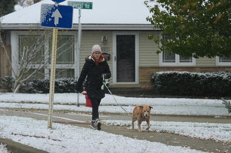
Flurries fell Sunday across parts of the Chicago area, a
precursor to “intense” snowfall forecast to start in the evening
in communities surrounding Lake Michigan. The National Weather
Service issued a winter storm warning into Monday, predicting
wind gusts of up to 30 mph (48 kph) and as much as 18 inches (46
centimeters) of quickly-falling precipitation, along with
thundersnow, a condition when thunderstorms combine with snow.
“This band is going to drop some very heavy snow and some hairy
scenarios for the Monday morning commute,” said weather service
meteorologist Kevin Doom in Romeoville, Illinois.
Meteorologists said conditions for road travel in northeast
Illinois would be “dangerous to impossible” from snow
accumulating faster than 3 inches (8 centimeters) per hour.
As temperatures dropped across the nation's midsection,
meteorologists warned of hazardous travel conditions through
winter weather advisories for Michigan, Indiana and Wisconsin.
Snow fell Sunday in Michigan's Upper Peninsula, where
meteorologists warned of low visibility with up to a foot by
Monday. In Indiana, weather experts predicted up to 11 inches
(28 centimeters) of snow and “slippery surfaces” for road
travel. Up to 6 inches (15 centimeters) of snow were predicted
in parts of Wisconsin.
“Patchy blowing snow” and wind chills hovering near zero were
expected in portions of Minnesota, Nebraska and South Dakota.
Some areas got measurable fluff a day earlier, including 4
inches (10 centimeters) of snow in southwest Minnesota and more
than 5 inches (13 centimeters) in slices of northern Iowa.
Cold weather warnings were issued for Ohio, West Virginia and
Kentucky, with freezing temperatures predicted through Monday
morning for a large swath of the South, from Texas and Oklahoma
to Alabama and Georgia.
Weather experts issued special guidance for gardeners, saying
the freeze warning means the growing season has ended.
“Take steps now to protect tender plants from the cold,” warned
meteorologists in Arkansas.
|
|