Mount Pulaski -- an aerial view

![click on photos below to enlarge]


Pictures by aerial photographer Jan Youngquist

Looking southwest, the vague line trialing right to upward from Mount Pulaski is the railroad line going to Springfield.

Route 121 edges the town on its east side.


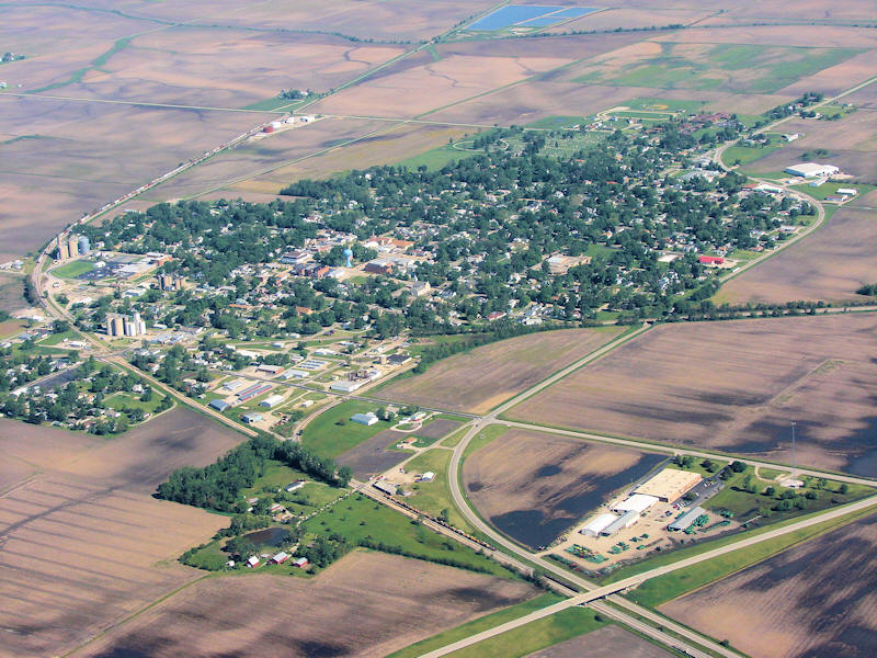
Major infrastructure is seen on the south end of the town: rail lines and Spring Street, the major road leading into town, which connects with Route 54.
In the distant upper right is the Mount Pulaski-to-Elkhart blacktop, which leads to Interstate 55 and is now under major renovation.

Looking northwest.

For more information on Mount Pulaski, click the story below:

Mount Pulaski and Emden weigh in on community needs.


Looking northwest again.


Looking north over the town of Mount Pulaski.


Back to top


News | Sports | Business | Rural Review | Teaching & Learning | Home and Family | Tourism | Obituaries

Community | Perspectives | Law & Courts | Leisure Time | Spiritual Life | Health & Fitness | Teen Scene
Calendar | Letters to the Editor