2014 TECHNOLOGY TODAY LINCOLN DAILY NEWS.com September 30, 2014 page 9
The satellites use both regular imagery and infrared
imagery to watch both conditions on the land and in
the atmosphere. Satellites primarily provide overview
information about ground temperatures and other
conditions that contribute to weather, and atmospheric
temperature and humidity levels that contribute to
weather. Satellites track the movement of clouds and
weather systems, giving the “big picture” to weather
forecasters and analysis equipment.
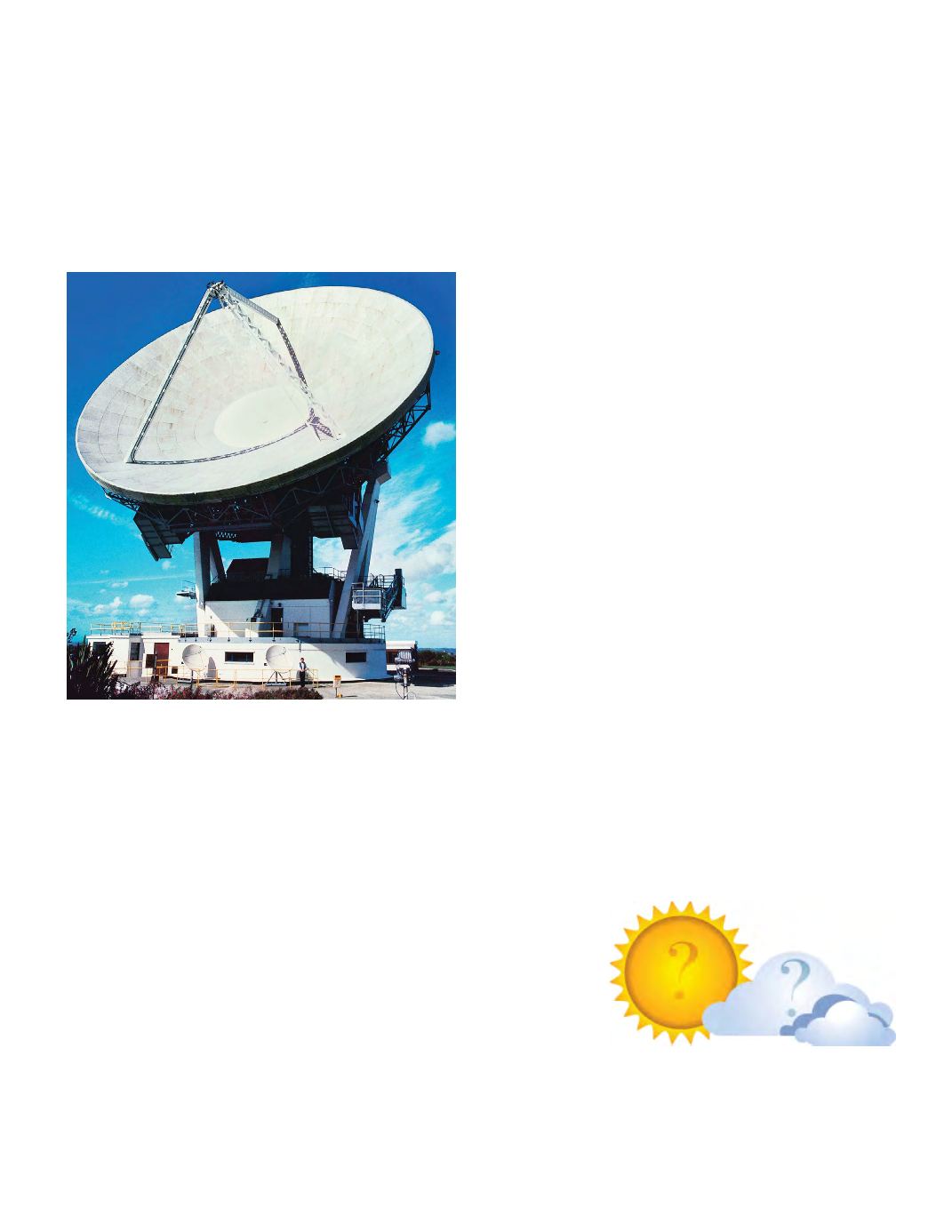
Weather Radar
Almost all modern weather radar is Doppler radar,
which is not only capable of accurately determining
where there is weather but also the speed weather is
happening.
All radar uses radio transmissions to determine the
position of
objects
. The objects weather radar looks
for are dust particles, rain drops, and even hail. It
can differentiate these three things because rain drops
tend to be flatter, and hail larger than dust. Doppler
radar can determine where these objects are and
which direction they are moving and how fast they are
travelling, as well as the size of the objects.
While satellites gather macro information about
cloud sizes, patterns and directions, Doppler radar
gathers micro information about all the particles
inside a cloud, where these particles are located,
which direction they are moving and how fast they are
travelling (thereby detecting wind speed). Doppler
radar can therefore detect in 3-D exactly what is
happening inside a storm system, and it is the most
important tool weather scientists have in gathering
information about advancing storm systems and
extreme weather.
Doppler radar is used to detect and plot the location of
what are called
vortices
, which are particles that are
moving in a circular fashion. These vortices are the
stuff from which extreme weather like tornadoes and
hurricanes often emerge.
The only thing that dampens the Doppler radar’s
ability to accurately form a picture of weather in any
given area is another recent technological device, the
wind farm. Since there is a great deal of movement in
a wind farm with spinning blades, it impinges on the
radar’s ability to see in that area and in a line beyond
it.
ANALYSIS
Using all the information gathered by Doppler radar
systems, weather satellites and weather balloons, as
well as amateur weather observers across the country,
powerful equipment is needed to gather all this
information together and “stitch” it into a coherent
3-dimensional weather picture of what is happening in
every city, village and countryside across the United
States.
Powerful predictive tools are necessary to take all that
information and determine not only what is current but
what patterns are present, what trends are developing,
and what probabilities are likely to accurately predict
the weather for the next 10 days.
The National
Weather Service
leased Twin
IBM computers
running linux in
2013 to do this
analysis. The Weather Service has been accumulating
weather analyzing and predicting software routines
for years and they needed some of the most powerful
super computers on the planet to run their software
Continued
→


